aletheia kallos aletheiak@yahoo.com [boundarypointpoint]
2015-08-17 23:11:40 UTC
news itemhttps://www.daily-mail.co.zm/?p=37707
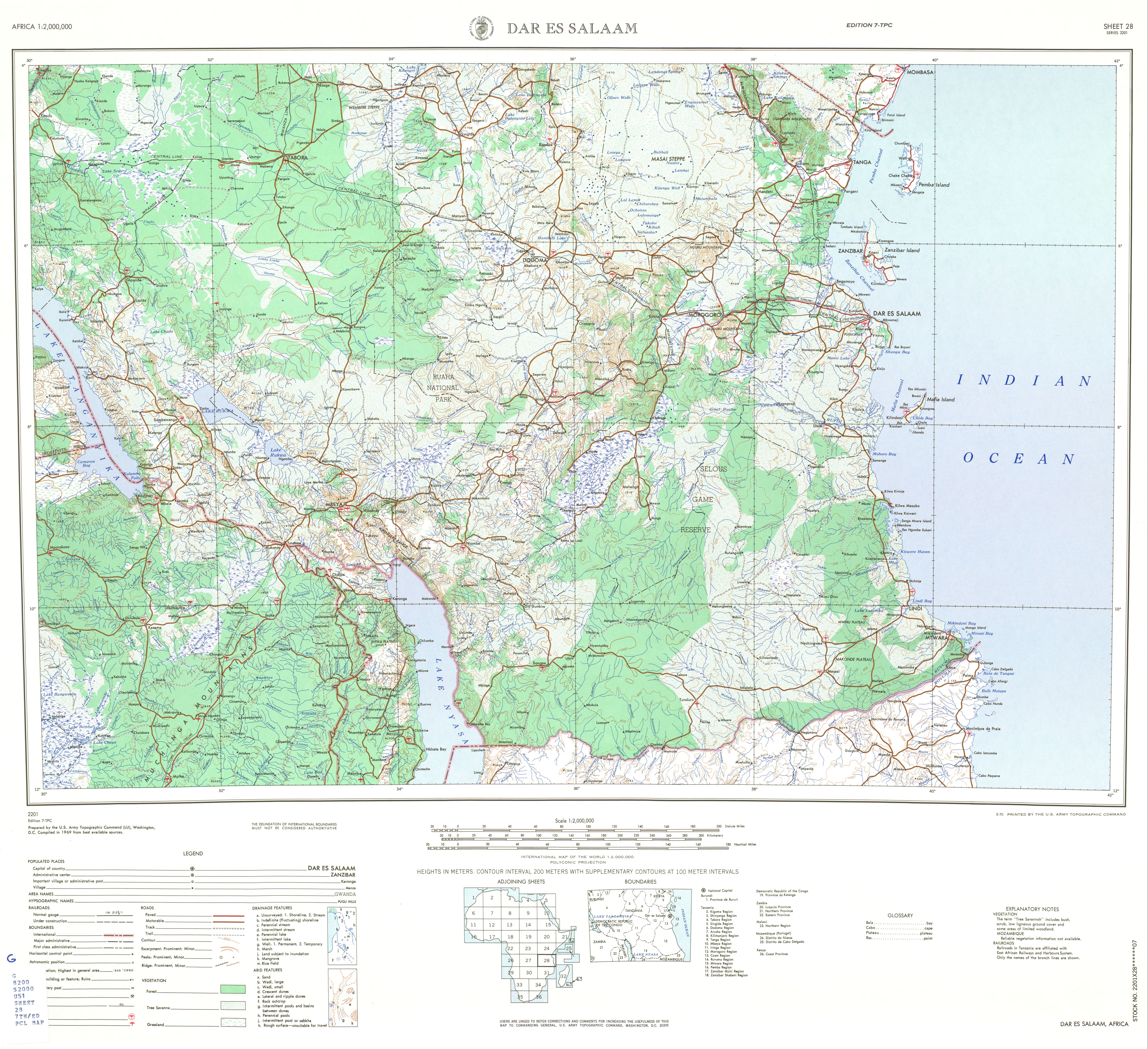
congo democratic with tanzania & zambia087 cdtzzm intermittent tricountry area revived by independence of tanganyika in 1961 & reconfigured by zanzibar union in 1963 as cdgbtz til 1964 independence of zambia in direct succession to original bedegb triple frontier dating from late 1880s acknowledged by 1890 degb & 1894 begb accords before being reduced to binational tricolonial status by german losses of 1919 & today generally considered to lie on median line of lake tanganyika in roughly 8s12 30e46 at a precise position reportedly stipulated in unpublished if not also unratified 1989 cdzm accord but in any case aligned since 1894 with a certain lost cape akalunga possibly now called pungu of southern lake tanganyika on one side & on the other an uncertain point on north shore of lake mweru near pweto village & luvua river outletamerican topo places tanganyika lakeshore village of moliro fully in congo Loading Image...  & soviet topo places it fully in zambia http://tinyurl.com/yb8bx4f as do local depictions http://groups.yahoo.com/group/boundarypointpoint/attachments/folder/1481643695/item/1195386113/view?picmode=original&mode=tn&order=ordinal&start=1&dir=asc & http://groups.yahoo.com/group/boundarypointpoint/attachments/folder/1481643695/item/650252557/view?picmode=original&mode=tn&order=ordinal&start=1&dir=asc while a 2009 report to national assembly of zambia asserts moliro is divided by an apparent cdzm demarcation & moreover aerial photography suggests natural bottleneck between neighboring portions of the moliro transborder community could indeed very effectively demark cdzm frontier at lakeshore in alignment with tip of cape whether formally demarcated or notibs 44 51
congo democratic with tanzania & zambia087 cdtzzm intermittent tricountry area revived by independence of tanganyika in 1961 & reconfigured by zanzibar union in 1963 as cdgbtz til 1964 independence of zambia in direct succession to original bedegb triple frontier dating from late 1880s acknowledged by 1890 degb & 1894 begb accords before being reduced to binational tricolonial status by german losses of 1919 & today generally considered to lie on median line of lake tanganyika in roughly 8s12 30e46 at a precise position reportedly stipulated in unpublished if not also unratified 1989 cdzm accord but in any case aligned since 1894 with a certain lost cape akalunga possibly now called pungu of southern lake tanganyika on one side & on the other an uncertain point on north shore of lake mweru near pweto village & luvua river outletamerican topo places tanganyika lakeshore village of moliro fully in congo Loading Image...
  & soviet topo places it fully in zambia http://tinyurl.com/yb8bx4f as do local depictions http://groups.yahoo.com/group/boundarypointpoint/attachments/folder/1481643695/item/1195386113/view?picmode=original&mode=tn&order=ordinal&start=1&dir=asc & http://groups.yahoo.com/group/boundarypointpoint/attachments/folder/1481643695/item/650252557/view?picmode=original&mode=tn&order=ordinal&start=1&dir=asc while a 2009 report to national assembly of zambia asserts moliro is divided by an apparent cdzm demarcation & moreover aerial photography suggests natural bottleneck between neighboring portions of the moliro transborder community could indeed very effectively demark cdzm frontier at lakeshore in alignment with tip of cape whether formally demarcated or notibs 44 51